The 2018 Blog / June 10, 2018
The Quilotoa Loop
This is our story...
Alright Halfie Nation this is going to be a long one because today we will be discussing our journey on the Quilotoa Loop! Yes, i’m sure you have no idea what that is and to be honest i don’t really either. This hike came about from us doing some research before bed one night and Sarah asking if I wanted to do this random three day hike she found on the internet. The next day you bet your ass we were out the door on our way to Sigchos to start the full Quilotoa hike!
The Quilotoa Loop could be done many ways (and isn’t actually a loop) but the way we decided to do it went as follows:
Latacunga —bus—> Sigchos —hike—> Isinlivi —hike—>Chugchilan —hike—> Quilotoa —bus—> Latacunga
The day started with an early wake up call just before 7am so we could lock up our stuff at Hostel Diana for 2 bucks a day. We then made our way to the bus station where we took a bus to Sigchos, a small town about 25 or so miles north of Quilotoa. After a two and a half hour bus ride, we got off and started our hike towards our first stop Isinlivi!
Sigchos
The start of our hike to Isinlivi! The rest of our hike included 1,430 ft elevation gain with a max elevation of 9,888 ft. The 6.7 miles took us approximately 2 hours and 12 minutes and looked a little something like this:
Without getting lost at all, unlike all the other blogs we read (thanks wikiloc! For real this app saved us) we arrived at the first hostel called “Llullu Llama” which i think unanimously would be agreed upon as the best hostel Ecuador has to offer. With a jacuzzi, super fancy dinner and breakfast, a llama, and a personal Saint Bernard to greet us at arrival this was a very good first stop.
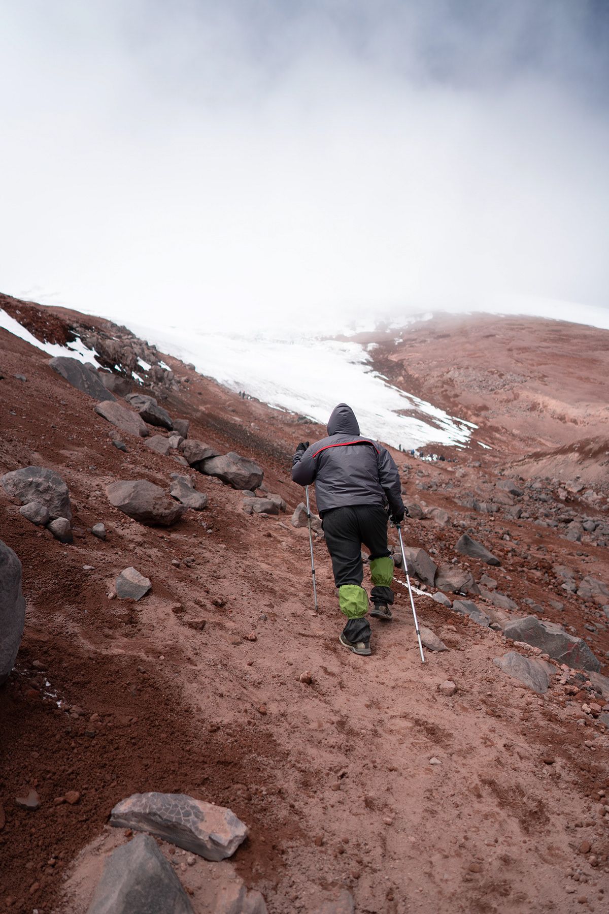
On the first night, we were served a three course meal and met some nice travelers that we would continue to see for the next three days. This included a nice Norwegian couple, a couple from England, an individual from the Netherlands, and an individual from Chile who seemed to get along quite nicely.
Isinlivi to Chugchilan
The hike the next day included about 8 miles of walking 2,054 ft worth of elevation gain, a maximum elevation of 10,367 ft and a total time of about 2 hours and 47 minutes. Here are some of the pictures from the hike:
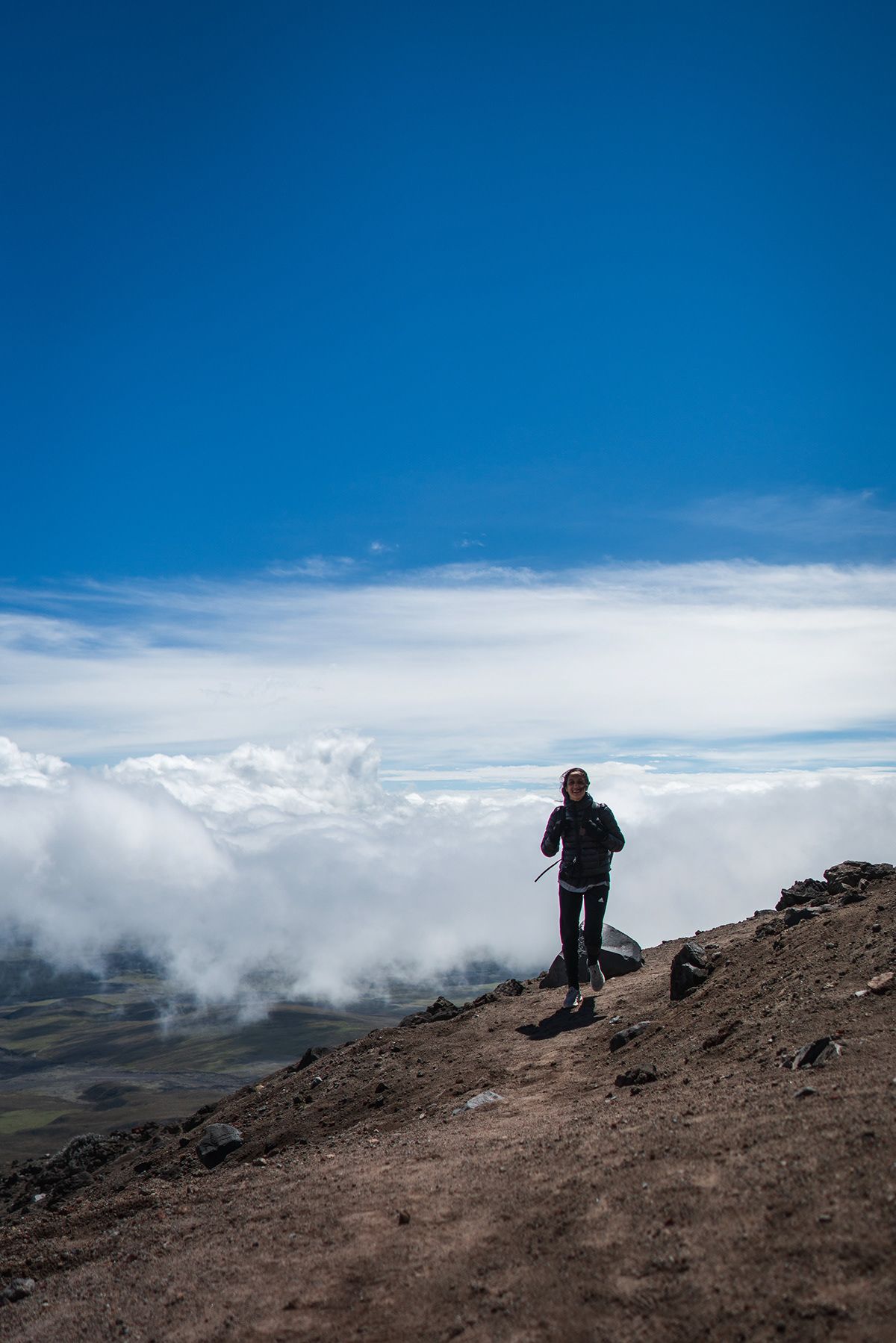
We shortly arrived at our next hostel in the town of Chugchilan. The hostel was called cloud forest, and while it was not as nice as the last one it did the job and had a fun game room where I was able to beat Sarah at Pool, Ping Pong, and Dart no matter what she says, or what pictures she shows you. Anyways we enjoyed another nice dinner with some of the same people that we had seen on the trip and again for breakfast. We got an early sleeping time for our hike the next day which was definitely the hardest one for sure!
Chugchilan to Quilotoa
From Chugchilan we made our way to the final destination of Quilotoa! With another 8.2 mile hike and 3,205 ft elevation gain it took us 3 hours and 7 minutes but with many more breaks to get up the steep uphills that seemingly were the entire way, but definitely worth it!
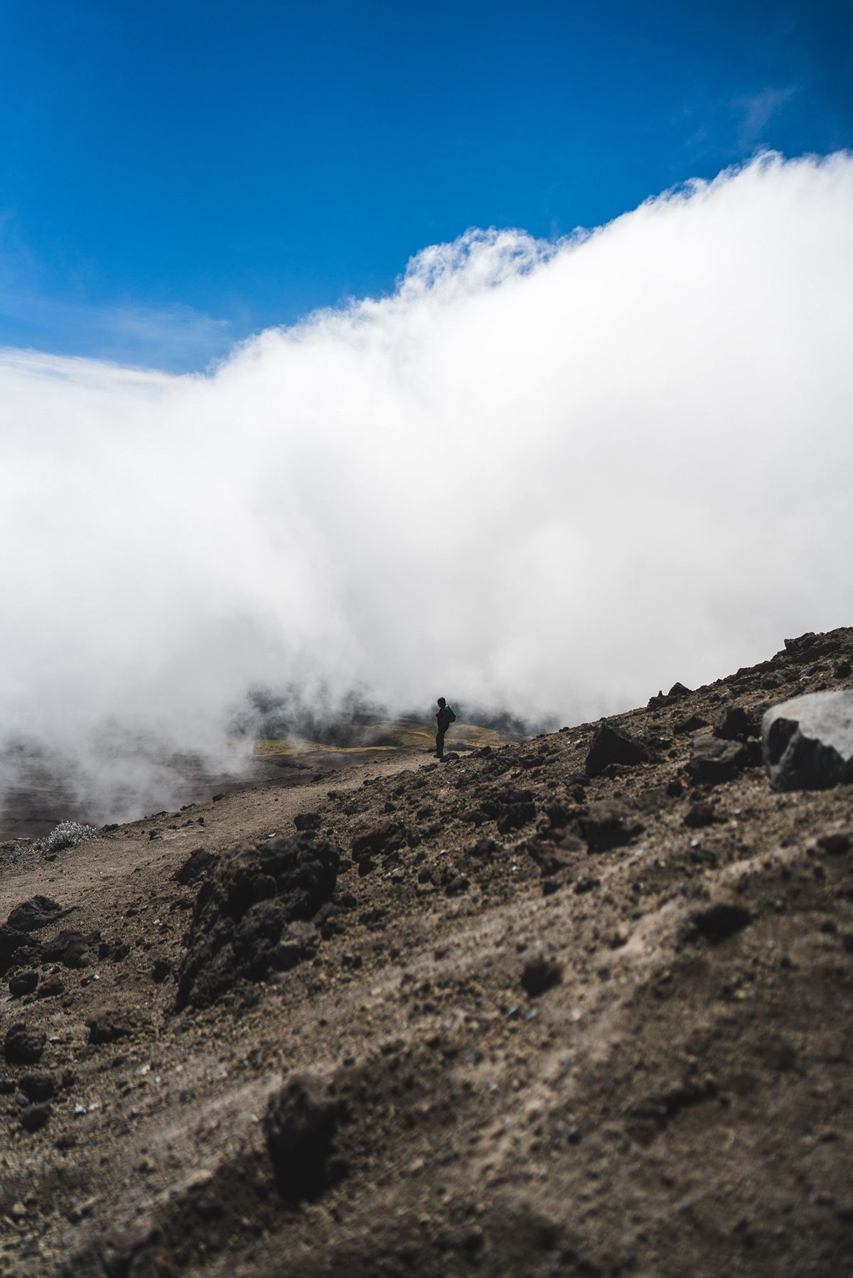
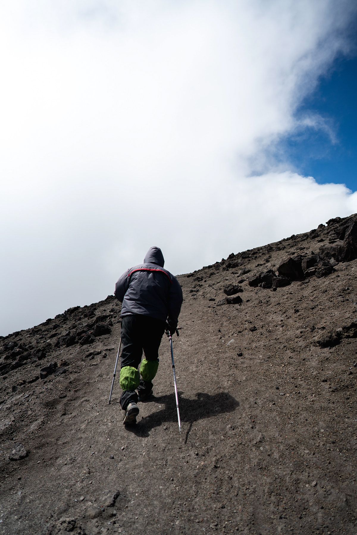
The final hike to Quilotoa was definitely the hardest but also the most rewarding to walk all the way up to the edge of the volcanoe and finally see that huge beautiful blue lake. We stayed at Chikawara Hostel where we promptly got as much food as we could find once we got there because we were so tired. The food proceeded with a three hour nap only to wake up just in time for dinner! We met this nice Canadian American couple at dinner who basically had our dream jobs. They were traveling the world writing for their travel blog. Maybe one day our blog will get 1-2 million views a month like theirs did. Anyways, the next morning we woke up early and decided to hike to the bottom of the lake and back up before our noon bus back to Latacunga to grab our stuff and head off again!
Quilotoa Lake
The hike down into the crater and back up was around a 2 mile round trip journey that gained and lost about 1500ft elevation. It was a quick beautiful trip.
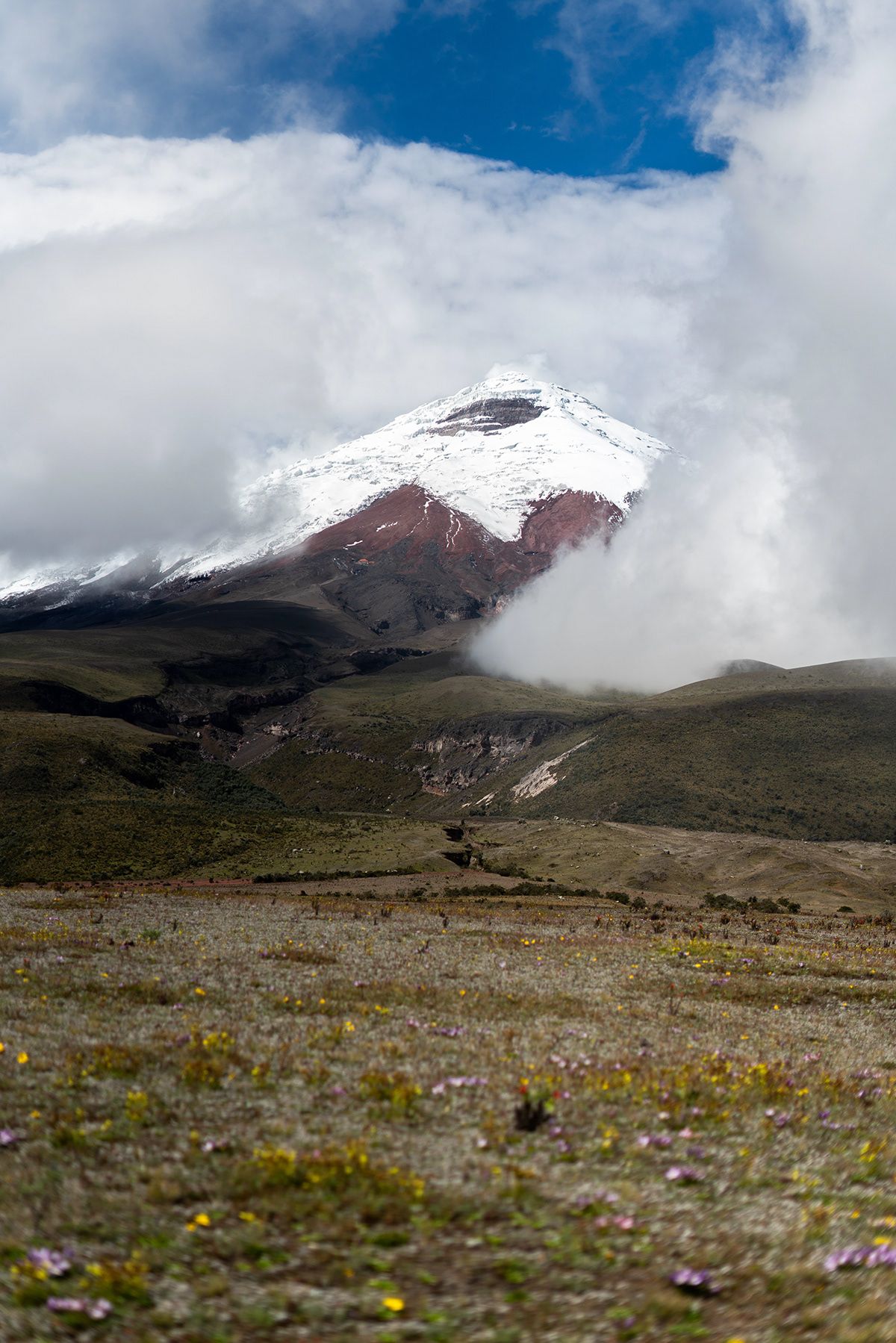
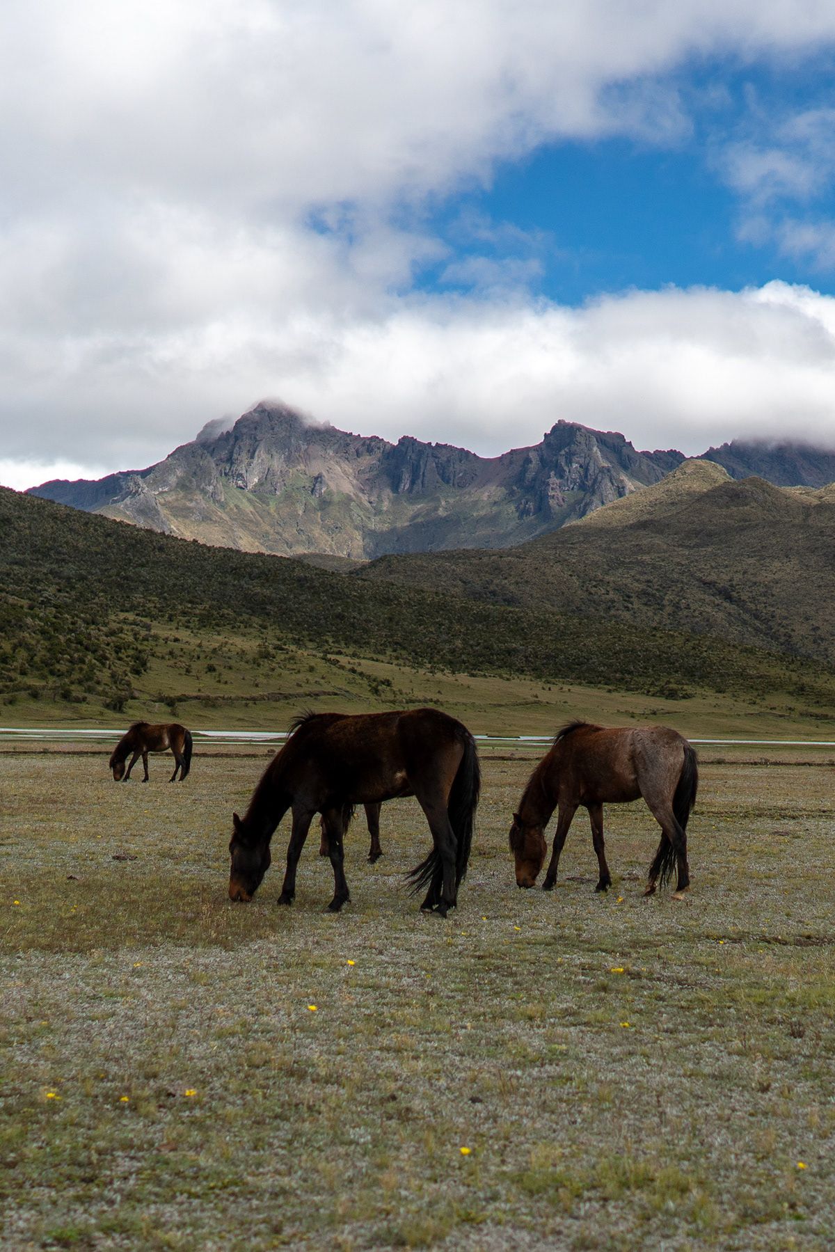
At the crater we were greeted by many dogs that seemed to enjoy our company. On the way back up our favorite, Frank, joined us for 90% of the journey back up the one mile incline. And just like that we found ourselves sitting aimlessly on the side of the road for our two and a half hour bus ride back to Latacunga. We literally sat on the side of some random road by ourselves in the 39 degree weather with no indication of a bus stop whatsoever. Boy were we excited when forty minutes later a bus rolled by and came to our rescue. And now the journey to everyone’s favorite Ecuadorian city, Baños Ecuador!
Originally published June 10, 2018 / See the Cotopaxi gallery